
Following
Sengenrei, here is some information on another nice
autumn hike. Mt. Takao is one of the most popular and crowded
mountains in the Tokyo metropolis: making it an all the more
welcoming surprise that the southern ridge is comparatively secluded,
tranquil and dense with foliage.
This
route is longer and more rigorous than Sengenrei, with much more in
the way of steep climbs and descents along an undulating ridge. At
reasonable fitness however it should not be too challenging.
For those
concerned, it is possible to skip about a third of the route here
covered. The description here begins with Mt. Takao and Mt.
Shiroyama, as previously featured, then swerves away to the south ridge. But if time,
energy or stamina are limited, a short bus ride goes from the start
point straight to the south ridge's ascent, cutting an hour or two
and some of the steepest sections from the walk.
The south ridge follows the border between Tokyo Metropolis and Kanagawa Prefecture, to the north and south respectively. Though much of it is enveloped in woods and plantations, these occasionally break to provide great views over either. On a clear day, Mt. Fuji watches from the horizon.

South Takao Ridge
Length:
Approx. 14km (9km if only doing the ridge itself)
Hiking
Time:
5-6 hours
Height:
Takao is 599m high, with easy options available for ascending it.
Some gentle ups and downs follow the ridge to Shiroyama at 670m. From
there to the south ridge requires a steep descent into the valley and
ascent to get back up from it. The peaks of the ridge itself are
about 450-500m high, with varying ups and downs between them.
Access:
1)
Go to Takaosanguchi
Station (高尾山口駅)
(Chuo Line to Takao Station, then Keiō Takao Line one stop). You can
start the hike from there, or...
2)
Take a 15-minute bus ride from the station to Ōdarumi
(大垂水)
bus stop, if you are cutting out the Takao-Shiroyama section and only
doing the South Takao Ridge.
As before, plan well, dress
flexibly, and time your hike in accordance with daylight hours.
Because of the crowds on the trains and at Takao itself, it is well
worth getting to Takaosanguchi by 8-9am.
The
first order of business is ascending Mt.
Takao
(高尾山),
for which there are a famous half-dozen routes to choose from. If the
long trek ahead seems daunting enough already, you can take the cable
car or chairlift to save half an hour at the start and get past the
steepest section.


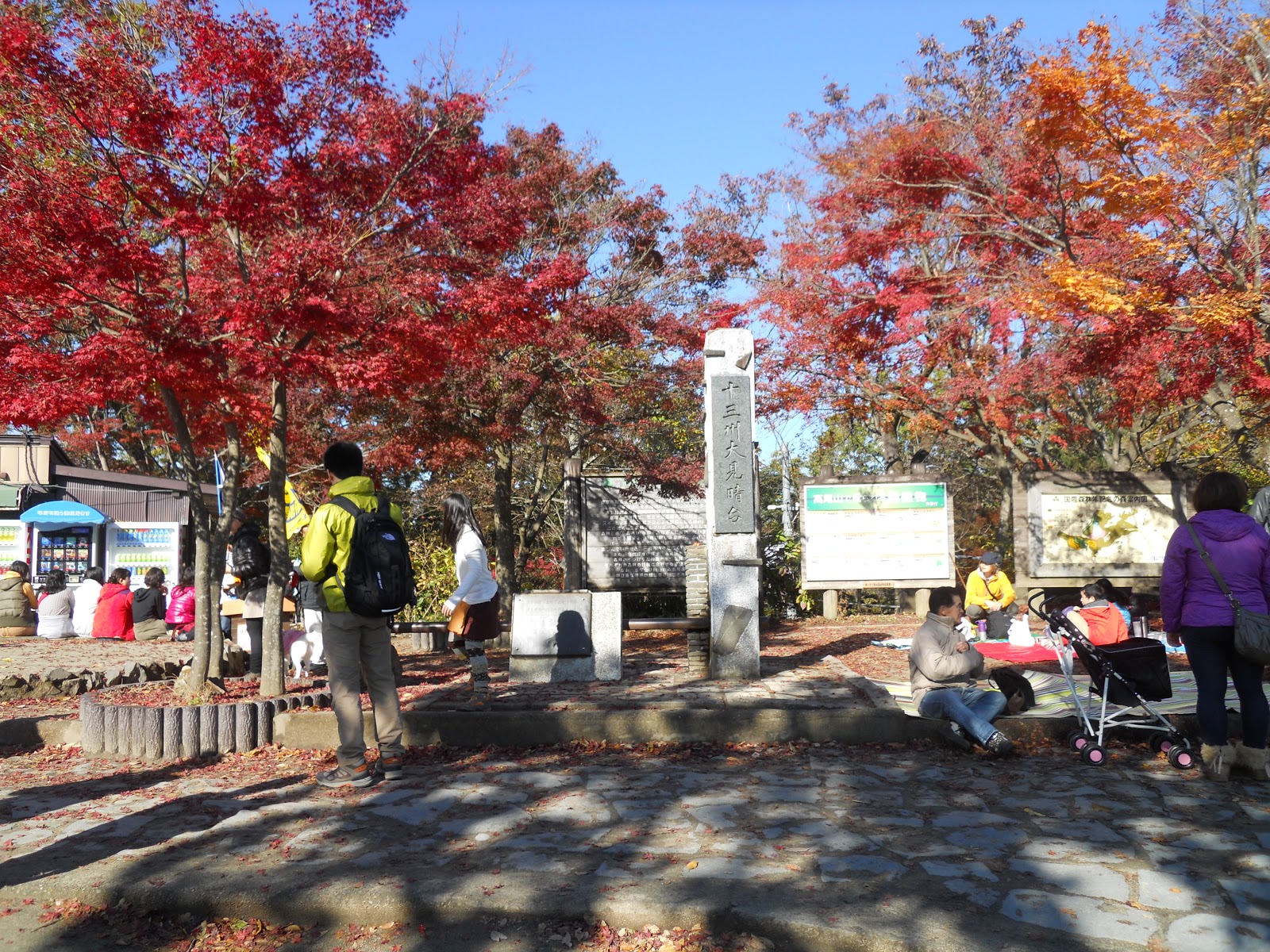
At the top, you can pause briefly
to typically take in the views of Tokyo and Mt. Fuji, as well as the
hordes of people, but remember that the substance of your hike still
lies ahead.


From
there, an hour's walk following the signs and people will take you to
Shiroyama
(城山),
the second peak along the main ridge. More views of Tokyo and Mt.
Fuji are apparent. The wooden tengu
atop Shiroyama references their significance in these mountains'
folklore.


And
this is where it gets interesting. Rather than following the madding
crowd towards Mt. Jinba, you want to find the southwards path towards
Ōdarumi
Pass
(大垂水峠,
Ōdarumi
tōge).
The people instantly disappear. The path is narrower and verging on
overgrown, and breaks into a steep descent onto an outgrowth of the
ridge. After some easy going there is then a second steep section
down to the pass. This descent from Shiroyama takes about an hour,
and reaches the bus stop where the South Takao Ridge section proper
begins.


 |
| Just left of the bus stop, you should see this bridge. Cross it and the real hike begins. |
From here you can climb up to the
South Takao Ridge, which runs parallel to the main Takao-Jinba ridge
you just walked. Now you go west to east, ultimately curving round to
the north to return to Takaosanguchi.
The
signposting varies in quality from here. Most signs you want to
follow point to Umenokidaira (梅の木平),
but any signs to points explicitly mentioned here take priority in
case of a conflict. For the most part it is easy to follow the
correct way: you want to stay on the ridge, so avoid paths that
blatantly descend off it. In many cases paths that fork off are short
detours (makimichi,
まきみち)
that end up back at the same place.

Keep heading up from there, noting that you are now walking with
Tokyo on your left and Kanagawa on your right. You are on the right
track when you pass a big pylon; keep your eyes open for panoramic
glimpses of Kanagawa through the trees.


 |
| IMPORTANT! Notice the kanji scrawled in black on the right sign. That points to Misawa Pass, which you will reach later on. Many of these signs have additional writing on them like that to compensate for what they lack: keep an eye out, as it is useful. |
As
the path evens out at last, you reach Mt.
Nakazawa (中沢山,
nakazawa yama).
That section offers this splendid landscape, where
conveniently-placed benches mark an excellent lunch break
opportunity.

There
follows a long section of relatively easy going, with occasional
further ups and downs to contend with. Follow the signs, especially
any with additional information forced upon them. What you are aiming
for within about two hours is Misawa
Pass
(三沢峠,
misawa tōge),
with its major clearing and junction.

 |
| Expect a fair bit of this. In most cases, either path is fine. |
 |
| Misawa Pass |
What
you want next is Mt. Kusato (草戸山,
kusato yama).
It takes about 30 minutes from Misawa Pass, by when Shiroyama Lake
and views towards central Tokyo start to appear below.


 |
| Skytree and all. |


The last landmark just after that is Kusato Pass (草戸峠, kusato tōge). From there it's a final hour-long stretch through the woods, with some surprise last-minute undulations to challenge you. This ridge also seems to serve as the graveyard of some disused pylons, whose antiquated frames blend retiringly into the woods.
 |
| Kusato Pass |
 |
| Camouflage. Look closely! |

At
last you suddenly emerge on the streets of Takaosanguchi, with the
station just two minutes' walk to your right. If the queues aren't
eternal, consider purchasing a giant grilled dango
to munch in celebration of your hike.


More hikes to come as the autumn
colours peak!
No comments:
Post a Comment